Satlas

About Satlas
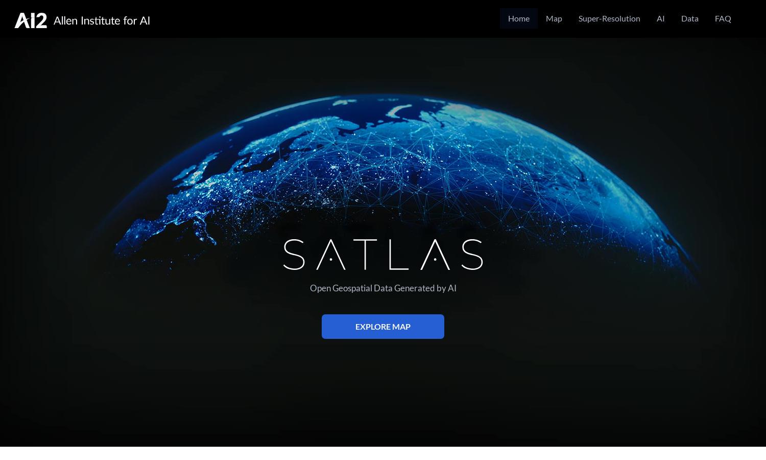
Satlas is an innovative platform designed for researchers and environmentalists to visualize changes on Earth through AI-annotated satellite imagery. It offers high-resolution images and extensive geospatial data, enabling users to conduct analyses that reveal insights about infrastructure growth, deforestation, and renewable energy advancements.
Satlas offers users a free access plan to explore AI-generated satellite imagery and datasets. With the ability to download data for offline analysis, users can upgrade for additional features and streamlined access to advanced AI models and extensive datasets, enhancing their research capabilities and insights.
Satlas provides a user-friendly interface, allowing seamless navigation through high-resolution satellite imagery and analytics. Its layout emphasizes efficiency and accessibility, making it easy for users to visualize complex data and track environmental changes. The intuitive design enhances user experience, making research engaging and straightforward.
How Satlas works
To use Satlas, users start by signing up on the platform to access a wealth of AI-generated satellite imagery. They can navigate the user-friendly interface to explore various datasets, including marine and renewable energy developments. With tools for analysis and visualization, users can manipulate images and data, uncovering insights into environmental trends and changes over time.
Key Features for Satlas
AI-annotated Satellite Imagery
Satlas features AI-annotated satellite imagery, allowing users to seamlessly explore environmental changes. This innovative approach enhances the understanding of dynamic shifts in marine and renewable energy infrastructures, providing invaluable insights into our planet’s transformations with high-resolution data that is both accessible and engaging.
Geospatial Datasets
Satlas offers extensive geospatial datasets, freely available for users to download and analyze offline. This feature empowers researchers and policymakers to access critical information about environmental changes, enabling them to make informed decisions based on comprehensive data, thus enhancing strategic planning and environmental understanding.
Super-Resolution Technology
Satlas employs super-resolution technology to transform low-resolution satellite images into high-resolution visuals. This capability allows users to gain detailed insights into our planet's changes, making it easier to track developments in areas such as renewable energy and deforestation, significantly enhancing the research experience.


